 |
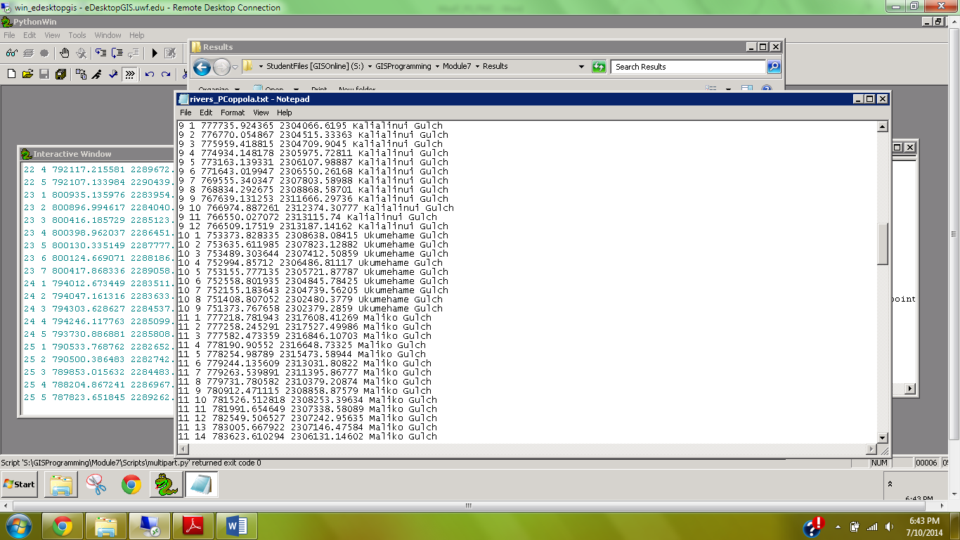
| Screenshot of rivers_PCoppola.txt file |
This week's lab focused on the conceptual and tangible connection between geometric/vector objects and the attribute table. Specifically, we worked with features, arrays, and vertices by using cursors and tokens to produce a .txt file of select items from the attribute table (see screenshot at right). The feature was a system of rivers (polyline feature class) on Hawaii. We wrote a script that would iterate through all the arrays of this feature class and provide an output of the feature number, vertex number, x,y-coordinates, and feature name. This required nested for loops to iterate over the embedded arrays.

No comments:
Post a Comment