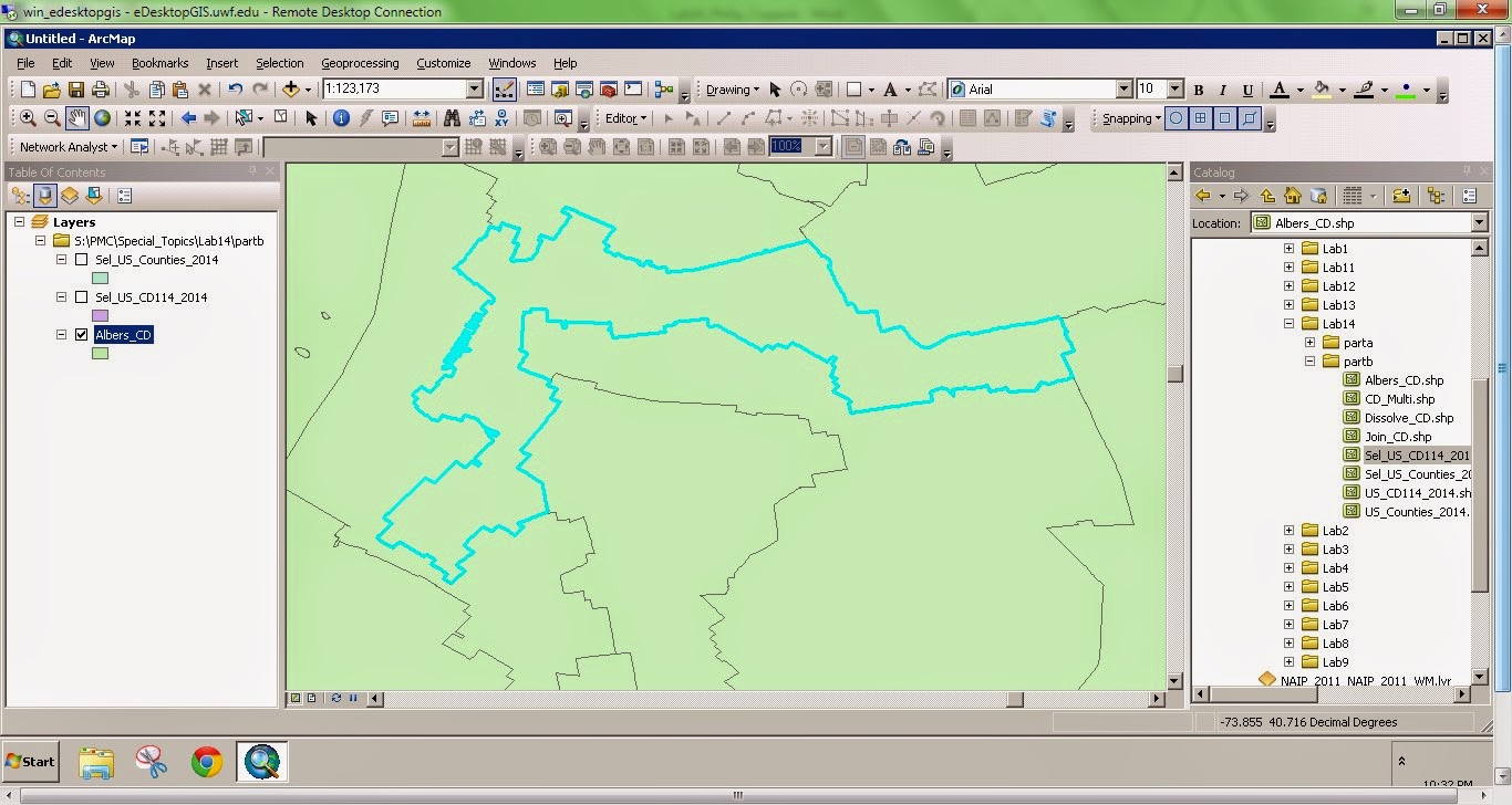
Gerrymandering is the manipulation of political boundaries so as to favor one party or class. The favorable outcome is a result of the statistical influence of scale and zonation of areal units. This manipulation of boundaries often produces odd shaped districts. The two images to the right show two outcomes of gerrymandering. The top image depicts a district boundary that chops up a county. The bottom image depicts a very elongated, irregular district.

No comments:
Post a Comment