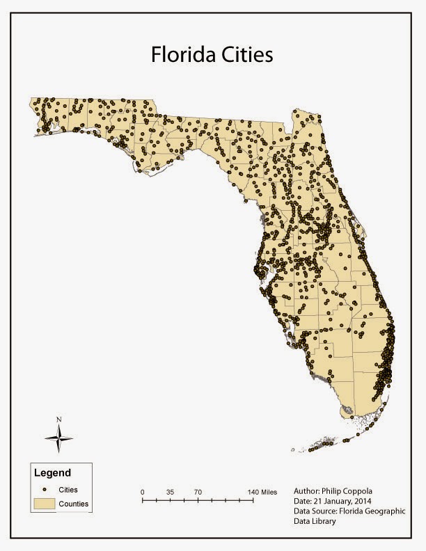
This is a map of Florida counties and cities. It was originally created in ArcMap 10.2, then modified in Adobe Illustrator to produce this final product. This was my first experience using AI, and it was a success. The tools and gadgets are relatively intuitive for quick use or detailed manipulation. However, I did have an issue with the layer palette. When the map was exported from ArcMap's .mdx to AI's .ai, the groups were not lumped appropriately, resulting in more work than was required to achieve the look I wanted. I am still in the process of figuring out what went wrong and how to fix the problem. Good luck all!
No comments:
Post a Comment